
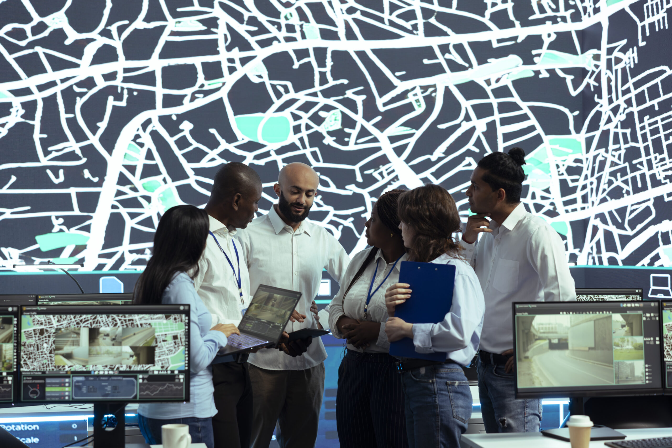
As climate change continues to reshape ecosystems, infrastructure, and urban environments, the need for advanced spatial analysis has become more critical than ever. GIS (Geographic Information Systems) and Remote Sensing for Climate Change technologies are now essential tools for understanding environmental changes, assessing risks, and designing effective adaptation strategies.
The GIS and Remote Sensing for Climate Change Impact Analysis and Adaptation Training in Dubai is a specialized professional program designed to equip participants with the technical and analytical skills needed to interpret climate data and support evidence-based decision-making. Furthermore, at Solomon People Solutions, we support professionals and organizations in building capability in data-driven climate resilience and geospatial intelligence.
Why GIS and Remote Sensing Matter in Climate Change
GIS and Remote Sensing allow professionals to visualize and analyze climate-related changes across time and space. These tools help answer critical questions such as:
- Where are flood-prone or drought-affected areas?
- How is land use changing due to climate stress?
- Which communities are most vulnerable?
- How can adaptation strategies be prioritized effectively?
As a result, by integrating satellite imagery, spatial data, and environmental models, organizations can move from reactive responses to proactive climate planning.
Importance of This Training in Dubai
Dubai and the wider UAE are investing heavily in sustainability, smart cities, and climate resilience initiatives. Consequently, professionals trained in GIS and Remote Sensing play a key role in:
- Urban planning and infrastructure development
- Environmental monitoring and conservation
- Disaster risk reduction and emergency planning
- Water resource and coastal management
- ESG and sustainability reporting
Therefore, GIS-based climate analysis has become a highly valuable skill in both the public and private sectors.
What You Will Learn in This Training
Introduction to Climate Change and Spatial Analysis
Participants gain an understanding of:
- Climate systems and global environmental change
- The role of spatial data in climate science
- The fundamentals of GIS and Remote Sensing applications
Remote Sensing for Environmental Monitoring
In addition, this module covers:
- Satellite data sources (Landsat, Sentinel, MODIS)
- Image interpretation and classification
- Vegetation, temperature, and land cover analysis
GIS for Climate Impact Assessment
Furthermore, participants learn to:
- Map climate hazards such as floods, heatwaves, and droughts
- Conduct vulnerability assessments
- Analyze spatial patterns of environmental risk
Climate Risk Mapping and Modeling
Additionally, key topics include:
- Hazard mapping techniques
- Exposure and sensitivity analysis
- Multi-layer spatial modeling
- Scenario-based climate projections
Climate Adaptation Planning
As a result, participants explore:
- Designing adaptation strategies using GIS outputs
- Prioritizing high-risk areas
- Supporting policy and decision-making with spatial evidence
Data Integration and Advanced Applications
Moreover, advanced topics include:
- Integration of socio-economic and environmental data
- Use of open-source GIS tools such as QGIS and Google Earth Engine
- Introduction to GeoAI and emerging spatial analytics trends
Who Should Attend?
This program is ideal for:
- Environmental Scientists and Climate Researchers
- GIS Analysts and Remote Sensing Professionals
- Urban and Regional Planners
- Disaster Risk Management Specialists
- Government and Municipality Staff
- NGO and Development Sector Professionals
- ESG and Sustainability Consultants
- Engineering and Infrastructure Professionals
- Academics and Students in Environmental Sciences
Benefits for Individuals
Upon completion of the training, participants will be able to:
- Analyze climate impacts using GIS tools
- Interpret satellite and spatial datasets confidently
- Develop climate risk maps and vulnerability assessments
- Support data-driven decision-making
- Strengthen careers in environmental and geospatial fields
- Improve technical expertise in high-demand climate technologies
Benefits for Organizations
Likewise, organizations gain:
- Better climate risk assessment and forecasting
- Improved sustainability and ESG reporting
- Stronger disaster preparedness planning
- Data-driven urban and infrastructure planning
- Enhanced environmental compliance and monitoring
- Increased efficiency in resource allocation
Training Methodology
To maximize learning, Solomon People Solutions delivers this program using a highly practical and application-focused approach, including:
- Hands-on GIS and Remote Sensing exercises
- Real-world climate change case studies
- Satellite image analysis workshops
- Scenario-based adaptation planning
- Group projects and spatial modeling activities
- Interactive discussions and expert facilitation
Ultimately, participants leave with practical skills they can immediately apply to real-world projects.
Why Choose Solomon People Solutions?
Solomon People Solutions is a trusted corporate training provider in Dubai and across the GCC, delivering specialized programs in sustainability, data analytics, leadership, and technical capability development. Furthermore, our approach emphasizes real-world application, industry relevance, and measurable skill development, ensuring participants are prepared for today’s climate and geospatial challenges.
GIS and Remote Sensing for Climate Change Training in Dubai
As climate risks continue to intensify globally, organizations need professionals who can translate spatial data into meaningful climate action. Therefore, GIS and Remote Sensing provide the foundation for understanding environmental change and designing effective adaptation strategies.
Our GIS and Remote Sensing for Climate Change Impact Analysis and Adaptation Training in Dubai equips professionals with the tools to analyze, visualize, and respond to climate challenges using advanced geospatial technologies.
Explore how GIS and Remote Sensing technologies support climate risk assessment, environmental monitoring, disaster preparedness, and sustainable adaptation planning through advanced spatial analysis.
